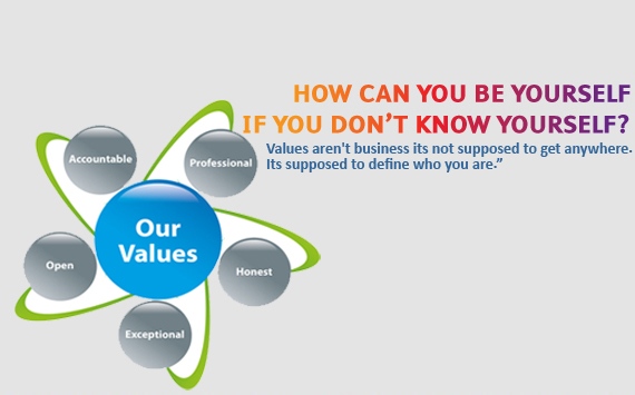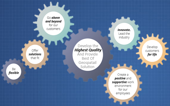
Green World Soft Tech provides professional geospatial services in strict adherence to the highest ethical and technical standards. We understand that each of our client's needs are unique, however, they all require timely, technically sound and cost-effective solutions.Our standard business practice is to work with each client to clearly define project scope and requirements and develop a solution that is right on target.
We assist our clients through GIS, Remote Sensing, and other related geospatial consultancy services including tools for the most suitable solutions in modelling, planning, designing, executing, monitoring, and managing projects and resources across geographical space. Our areas of expertise include forestry, wildlife, fisheries, wetlands, and geospatial services.Our work is characterized by the highest level of client service, the application of the best science and technology, quality processes and results, our integrity, and our respect for the natural environment.